
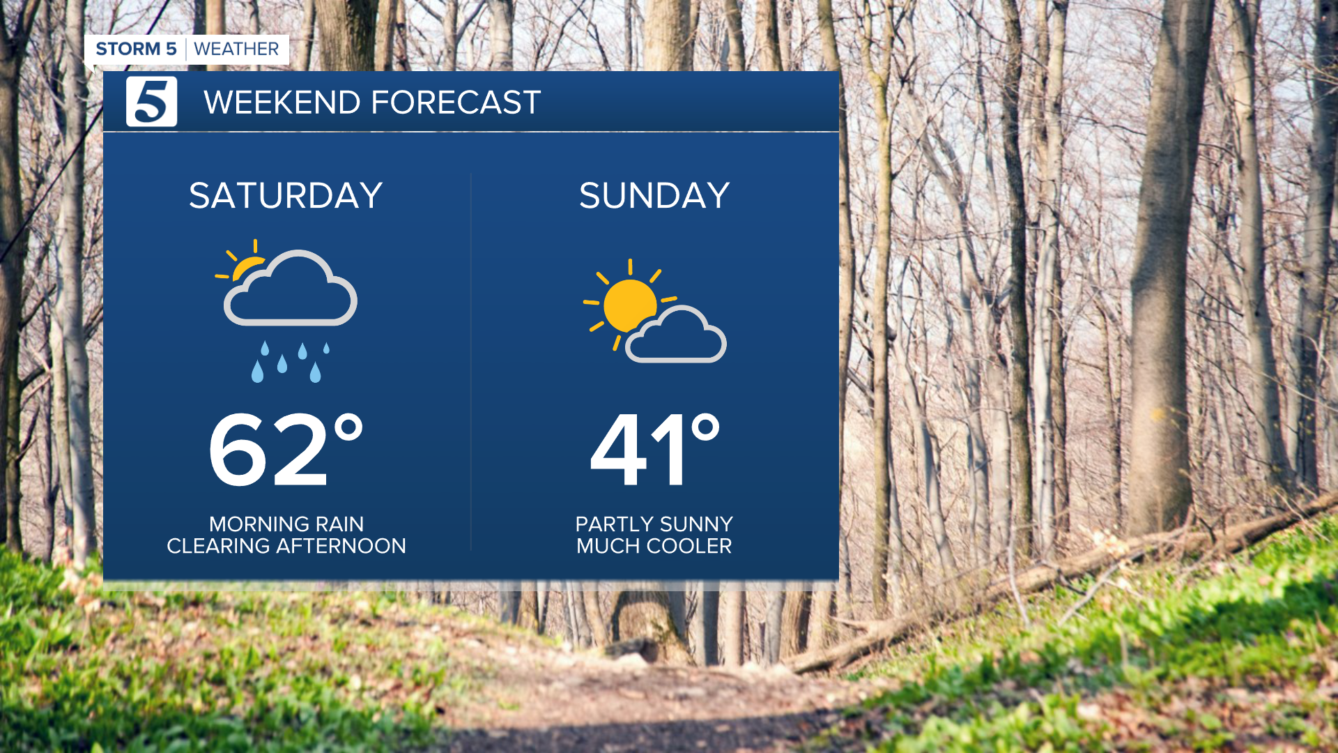

Scattered showers will continue moving through Middle Tennessee this morning ahead of a frontal boundary slated to bring much colder weather Sunday. Rain chances should begin diminishing by lunch with clearing expected overnight.

Highs today will top out around 60, however temps will fall quickly overnight as the cold front exits. Look for temps in the 30s when you wake up Sunday morning with partly cloudy skies and drier conditions.

More seasonable weather is expected next week with temps back in the 50s by Tuesday. Some light rain and snow chances appear by mid week!


It's has been a dry spring for us. Nashville is over 6 inches below normal for rainfall for the year with Clarksville over a 9 inches deficit. Kim Rafferty went to a nursery to get a couple of tips that may be useful for you.
- Lelan Statom
