


NASHVILLE, Tenn. (WTVF) — Strong to severe storms are once again possible across the NewsChannel 5 coverage area this afternoon into the evening and again tomorrow.

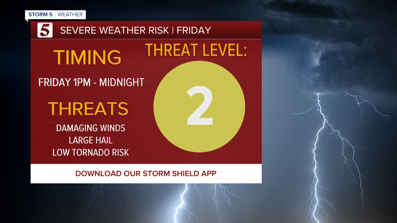
Another Storm 5 Alert is in place Friday from 1 p.m. until midnight. Similar threats remain with the biggest concern being strong winds. Large hail and heavy rain will also be possible. The tornado threat will be very low, but it's not zero.
Tomorrow will be much soggier today with higher rain chances.
Rain and storms last through Saturday unfortunately. The severe threat is low, but it'll be enough to disrupt your weekend plans.
Do you have more information about this story? You can email my5@newschannel5.com.

A slip-and-slide for seniors?! Who knew it could stir laughter and tears. Photojournalist Angie Dones captures a story filled with so much joy and one that will tug at your heartstrings.
- Carrie Sharp
