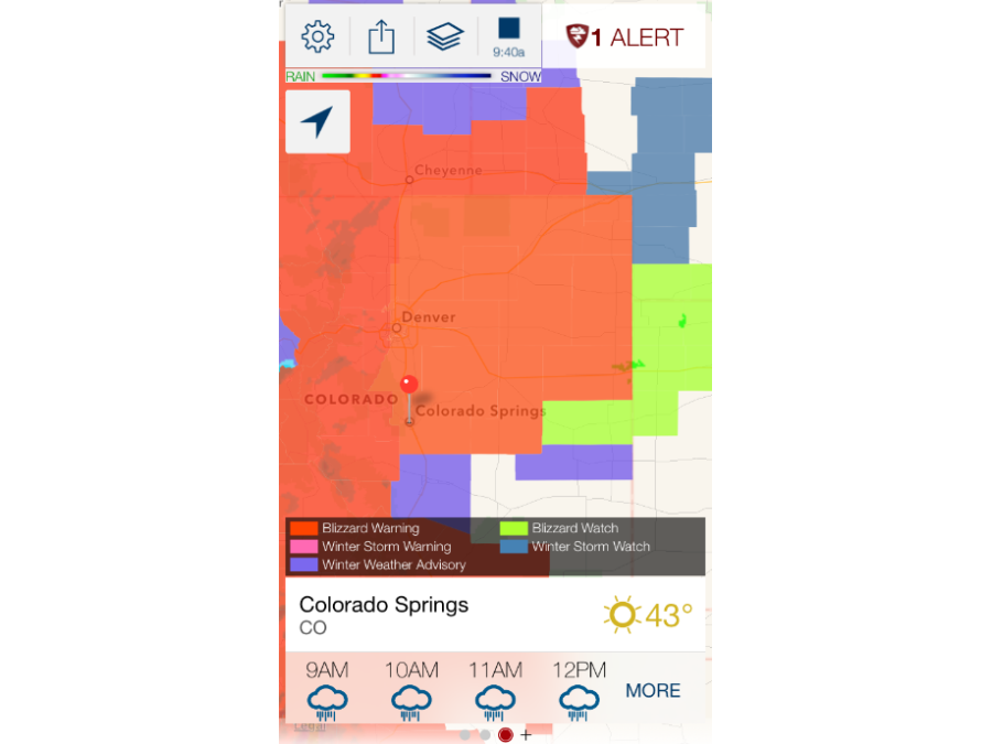
In less than a week's time, Colorado is going to get their second blizzard and the Plains and the Midwest are looking at another round of severe thunderstorms and flooding.
Another low pressure system has developed near Colorado, and it's once again strengthening very quickly.
This is nearly the same setup we saw last week when a Colorado low brought the first blizzard of the season to Colorado on Tuesday and severe storms to Iowa and Illinois on Wednesday.
While the blizzard warnings are in the same general region, there are four major differences between last week's storm and this week.

For starters, a lot more snow is expected with this week's storm. Some places are expecting up to 18 inches of snow because there's a lot more moisture associated with this system.
DOWNLOAD SNOWCAST FOR SNOW TOTALS AT YOUR LOCATION
This storm is also strengthening at a much faster rate. That means stronger winds during the blizzard, and a better chance for severe storms.
The third difference: the severe thunderstorm threat will stay in the South both Monday and Tuesday because this week's storm is expected to take a more southerly path.

And lastly, this system could also cause some flooding in the Plains and Midwest with a lot more rainfall.


