


NASHVILLE, Tenn. (WTVF) — After the bitter winter chill last week, we will see a soaking end to the month of February!
Soak up the sunshine and warmer weather on Wednesday. Highs Wednesday afternoon will be back in the upper 60s to low 70s. A weak cold front will move in Wednesday night and bring a quick round of showers through early Thursday morning.
This round will only bring a quick splash of rainfall to the area, and temperatures will be back in the 50s by Thursday.

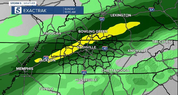
This front will stall to our south on Thursday before moving back north over our area Friday. Waves of heavy rain will be possible Friday through the weekend as the front hangs out around the Mid-State. Right now the heaviest rain looks to arrive Sunday into Monday.

The ground is already soaked from recent winter weather, so flooding will be something we will monitor until early next week. Right now it looks like some areas could pick up on 4-6 inches of rainfall. Make sure to have our Storm Shield app downloaded to get weather alerts sent straight to your phone.
