


SkyMap, NewsChannel 5’s new technology is enhancing what Sky 5 can do. Now, the only local station with a dedicated helicopter can go further than ever before when it comes to helping you navigate the roads, understanding the forecast and viewing Middle Tennessee's biggest stories.
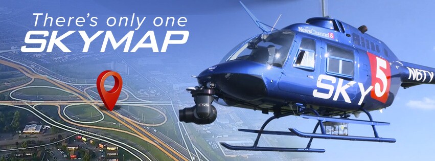
SkyMap gives viewers a birds-eye view like they’ve never had before. Its main feature is an exact mapping overlay that makes it possible to clearly view and recognize roads, exits, schools and businesses along with other points of interest from above.
Looking to avoid traffic on your morning commute? Need to know if the roads are safe to drive on during a storm? SkyMap can provide you with answers in both scenarios and more.
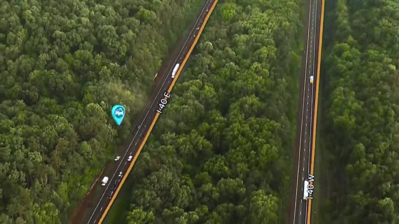
SkyMap also has features to highlight, mark and track any issues on the roads, as well as a speedometer that can show how fast or slow traffic is moving.
Outside of traffic and weather reports every weekday morning, you will also see SkyMap during the biggest news events as they happen. When we're on the way to breaking news, SkyMap gives us the ability to tell you how long it will take for us to arrive as you see the destination on the horizon.

If there's ever a large demonstration or protest, SkyMap will help map out the streets and show you the destination. It can also count the people taking part. So we can bring you more accurate coverage in real time.
Additionally, SkyMap’s "before and after" feature uses Google Maps to show the impact of a disaster on our community or a new development in our ever-evolving city.
It's all possible thanks to augmented reality and a determination to bring Sky 5 out of the ashes and soaring to new heights. Right alongside the neighborhoods impacted across Middle Tennessee.
It's the latest move to bring you local coverage that is more elevated than ever before.
