


What: Storm 5 Alert Wednesday
Current Timing: Now - 9 PM
Threats: Damaging winds, small hail, low tornado threat - but quick spin up tornado is possible
The Storm 5 Weather Team has issued a Storm 5 Alert for Wednesday due to the threat of severe storms in the afternoon and evening hours. A strong cold front will move into the mid-state, bringing widespread showers and storms to the area.
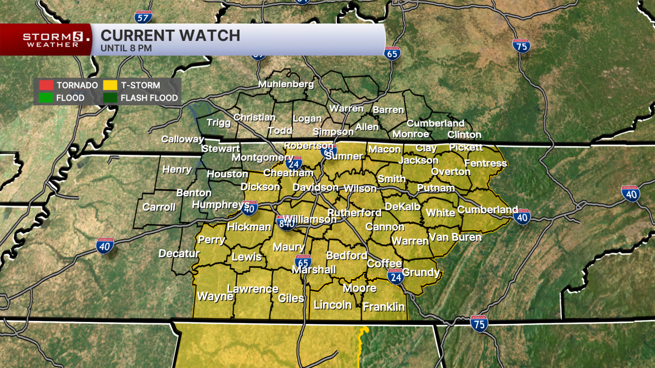
A Severe Thunderstorm Warning has been issued for most of Middle Tennessee through this evening.

The Storm Prediction Center has highlighted all of Middle Tennessee with a Level 2, Slight Risk of severe storms. Damaging winds, small hail, and heavy rainfall are the main threats, but a quick spin up tornado can't be ruled out.

Our Wednesday will start off cloudy and breezy with highs reaching the upper 70s before the rain arrives. The current timing, has storms moving in from the west early afternoon and clearing out around 12am Thursday.


Cooler air moves in behind the front for Thursday, keeping highs in the mid 50s due to breezy northwesterly winds.

A slip-and-slide for seniors?! Who knew it could stir laughter and tears. Photojournalist Angie Dones captures a story filled with so much joy and one that will tug at your heartstrings.
- Carrie Sharp
