

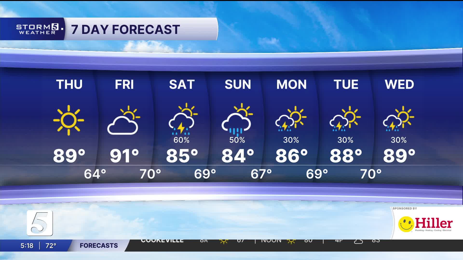


Comfortable Today Before Weekend Rain & Storms
Forecast:
Tonight: Partly Cloudy |Low: 64| NE 5-10
Tomorrow: Partly Cloudy, Rain Chances Return During the Night|High: 91|
SE-5
In Depth:

It's a stunning afternoon, as far as July goes, with comfortable temperatures and humidity. Highs will remain near normal with lower humidity. We'll begin to see humidity levels increase by Friday, with most areas staying dry.
Showers and thunderstorms are expected to move in Friday night and continue through Saturday as a cold front approaches the region.
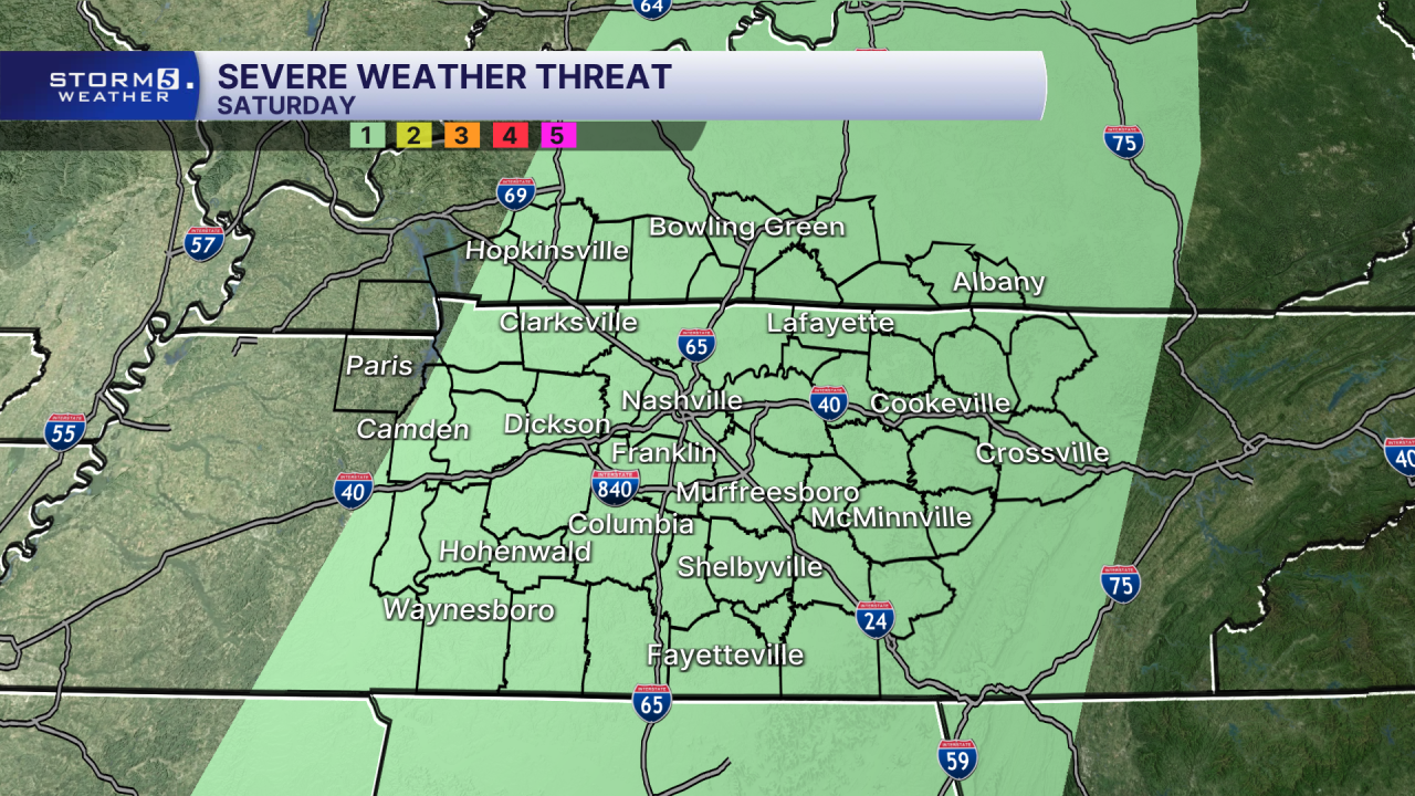
While a few stronger storms could produce gusty winds Saturday afternoon and evening, the overall risk for severe weather remains low. As of right now, a brief, spin-up tornado can't be ruled out but the chances are very low.
The bigger concern will be heavy rainfall. Storms will be capable of producing downpours, and repeated rounds of rain over the same locations, which could lead to localized flash flooding. Widespread flooding is not expected at this time.
Rain shower come to an end early Sunday as the cold front moves out, bringing another brief stretch of lower humidity.
