

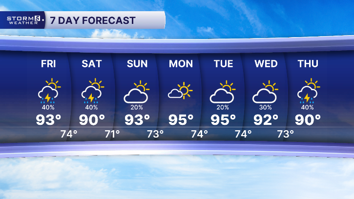


Scattered Storms Today, Hotter Days Ahead
Forecast:
Tonight: A Few Clouds, Patchy Fog Poss. | Low: 74| Calm
Saturday: Partly Cloudy, 30% Chc. for Rain | High: 90 | S 5-10
Scattered showers and thunderstorms continue each afternoon through the weekend. A Marginal Risk (level 1 out of 5) has been highlighted for a handful of our Kentucky counties this afternoon. Primary concern is strong damaging winds.
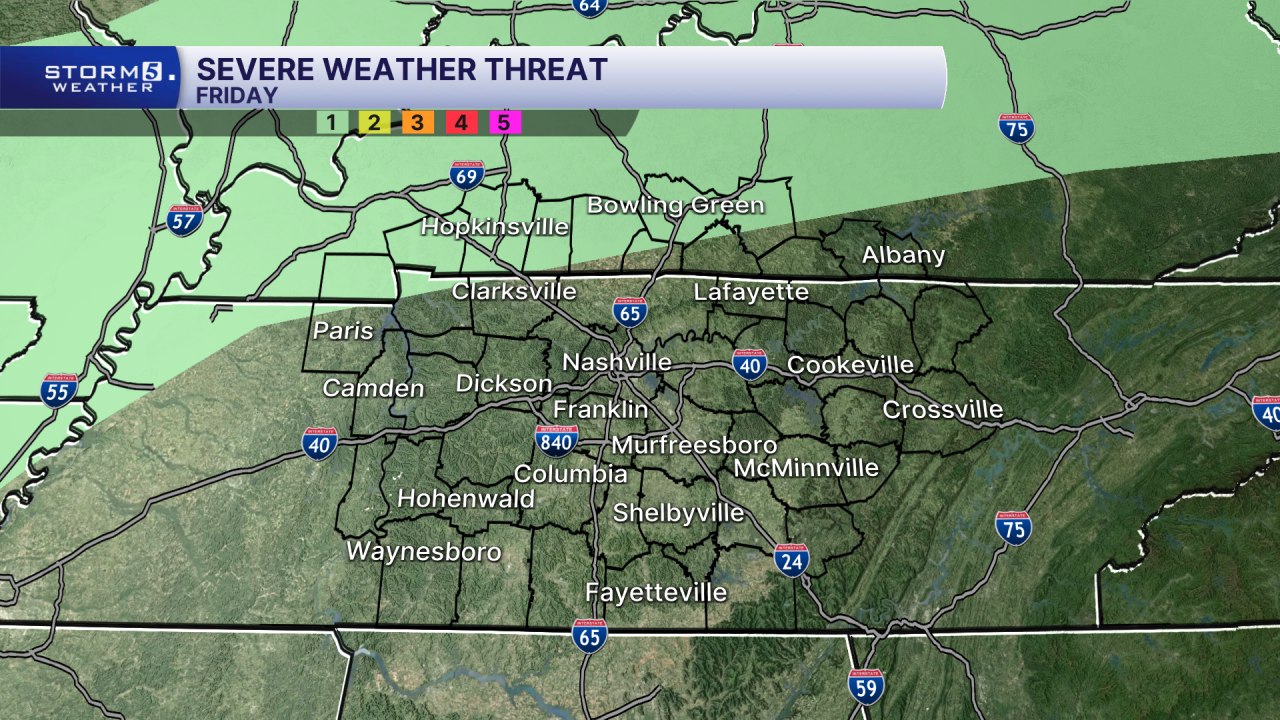
Areas not included, especially east of I-65, still have a chance to see strong storms but they likely won't become severe. A few storms could produce gusty winds up to 50 mph, heavy downpours and isolated flash flooding.
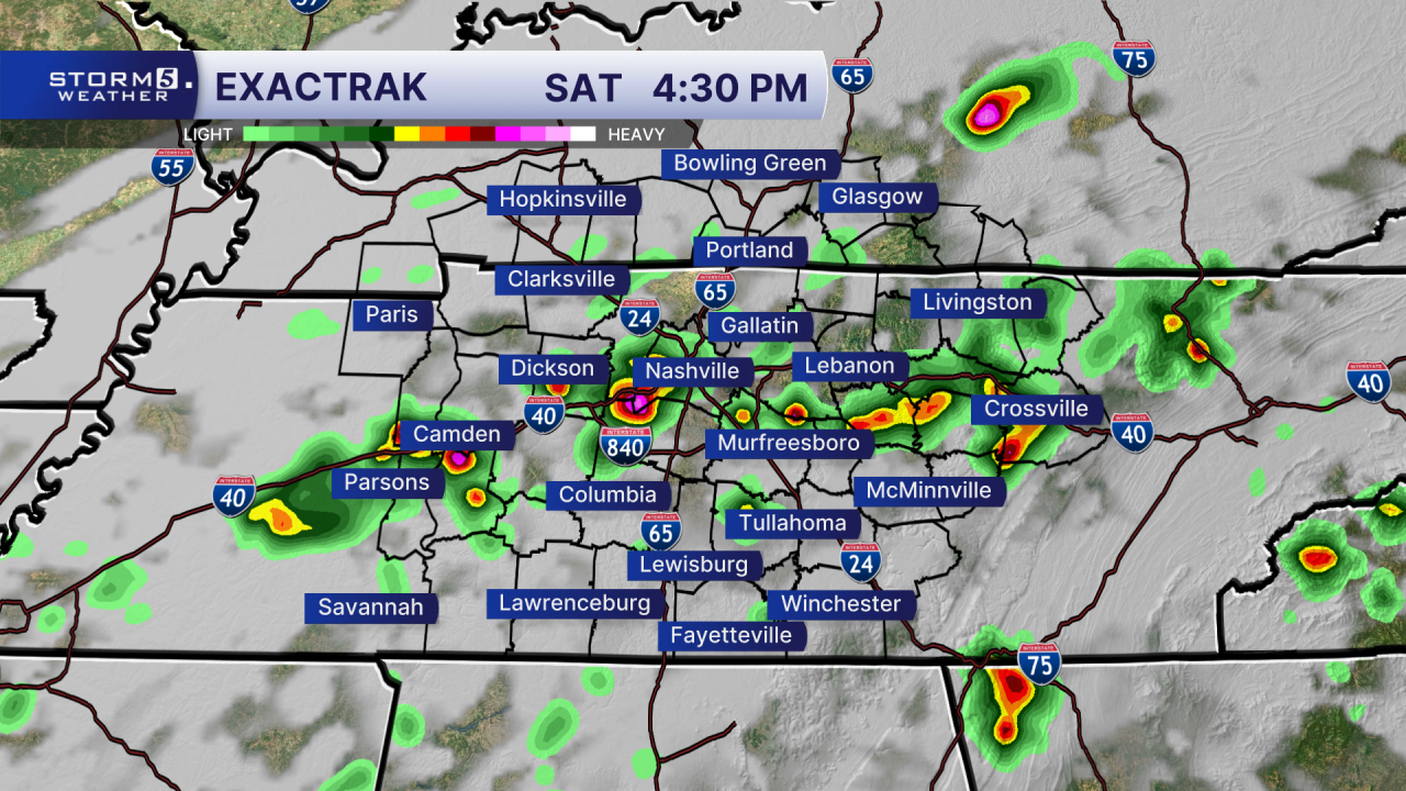
Saturday's rain will be a bit more widespread than the last few days. Outdoor plans can still continue but keep an eye on the sky and have a way to get indoors quickly if storms develop.
Hotter weather builds in early next week, with heat index values climbing above 105 degrees in some spots Monday and Tuesday. Off and on rain chances also continue next week.
