


Hot & Humid, Scattered Showers & Storms
Forecast:
This Afternoon: Hot & Humid, Scat. Showers & Storms|High: 92| SW-5
Tonight: Warm & Humid, Scat. Showers & Storms|Low: 75| SW to S 5-10
Tomorrow: Sun/Clouds Mix, Scat. Showers & Storms|High: 94| SW 5-10
In Depth:
A boundary to our north, and plenty of moisture over the Mid-South will lead to afternoon thunderstorm chances for all of the NewsChannel 5 viewing area. This unsettled, but welcomed pattern will be the theme for the rest of the week and into next weekend. From now until Sunday night, some areas could see a total of 3” of rain.

Monday afternoon and evening areas from the Cumberland Plateau and east could see a strong to severe thunderstorm with heavy rain that could lead to flash flooding as well as damaging wind. The area mentioned is under a Marginal Risk (1 out of 5) for severe storms during that time.

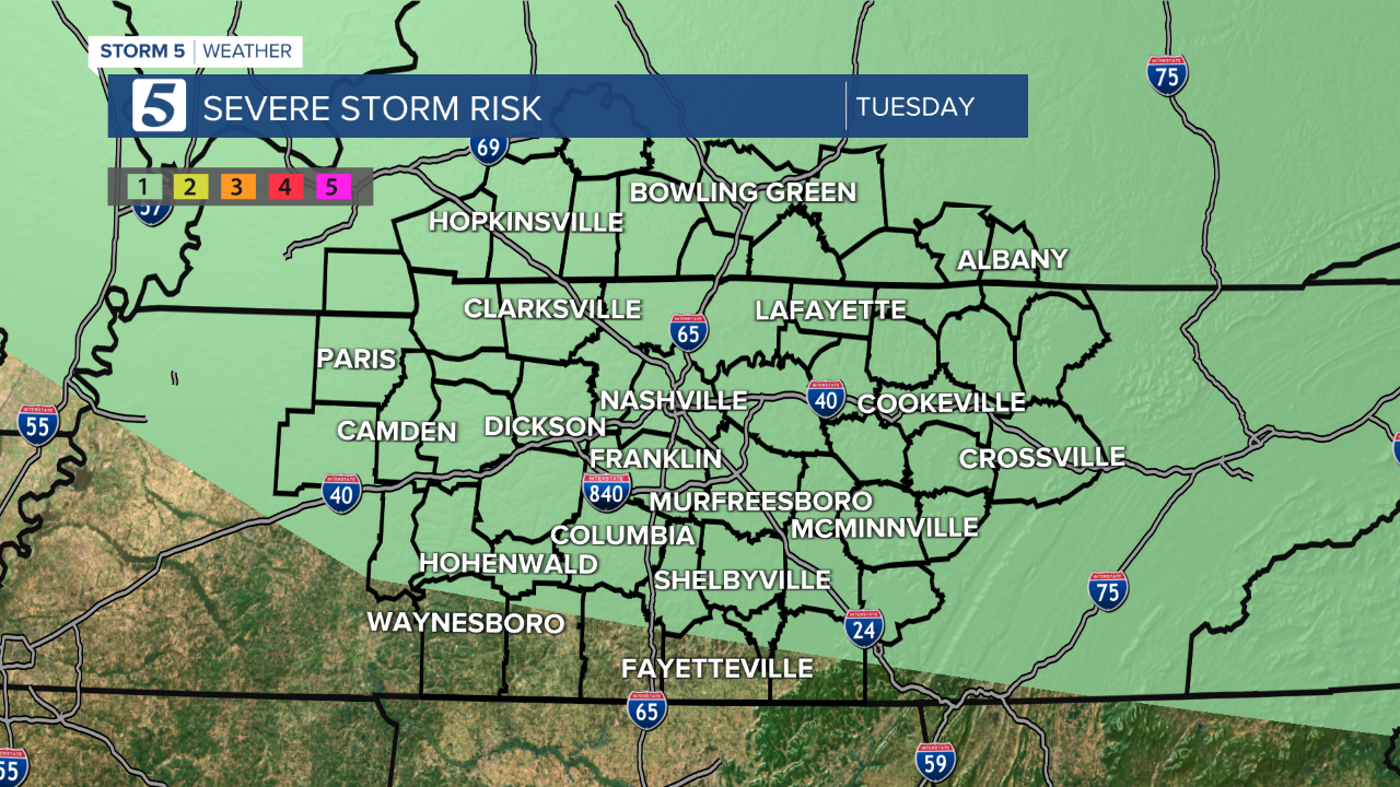
On Tuesday, as the boundary slides a little more south, all of Southern Kentucky and most of Middle Tennessee will be under a Marginal Risk for severe storms.
By Wednesday, the Marginal Risk for severe weather will be along and north of I-40

Each day our storm threats are (in this order) heavy rain that could lead to flash flooding followed by damaging wind. If you haven’t already, take the time to download the free Storm Shield App to your smartphone so you can have radar in the palm of your hand. As long as GPS settings are “Turned On,” you will be alerted if you are in the path of a warned storm.

