


Storm 5 Alert Continues This Weekend, Flood Watch Through Sunday Night
Forecast:
Tonight: Spotty Storms Possible | Low: 71 | WSW 5-10
Sunday: Humid w/ Sct'd, Storm 5 Alert w/ a Flood Watch until 6pm | High: 82 | W 5-10
In Depth:

A Flood Watch remains in effect for the majority of the region through Sunday evening as rounds of showers and thunderstorms continue. A few storms today have already been strong to severe.
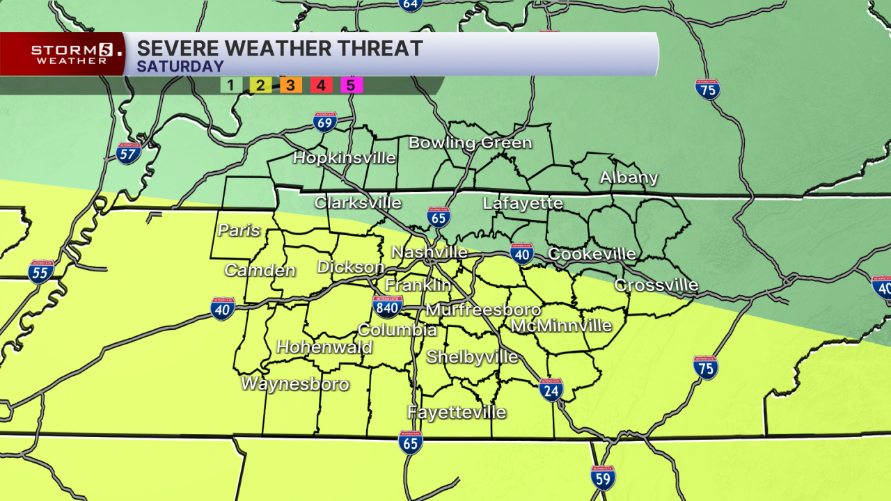
The Storm Prediction Center has placed us under a Slight Risk (2 out of 5), with the primary concern being strong damaging winds. Frequent lightning and torrential rainfall will also be possible.

Flooding remains a big concern since many areas have already received several inches of rain earlier this week, leaving the ground very saturated. Additional heavy downpours could cause flash flood warnings this evening.
The pattern will gradually improve into next week. Scattered showers remain possible Monday and Tuesday, but overall storm coverage will decrease.
Temperatures remain close to average highs in the upper 80s, low 90s thanks to the afternoon rain chances.
