


Storm 5 Alert, Flood Watch until 6:00 This Evening
Forecast:
Tonight: Spotty Showers, Iso. Storm or Two Poss. | Low: 70 | N 5-10
Tomorrow: Sct. Showers & Thunderstorms | High: 85 |NNE 5-10
In Depth:
A Flood Watch remains in effect for all of Middle Tennessee until 6 PM Sunday as repeated rounds of showers and thunderstorms continue to move across the mid-state.
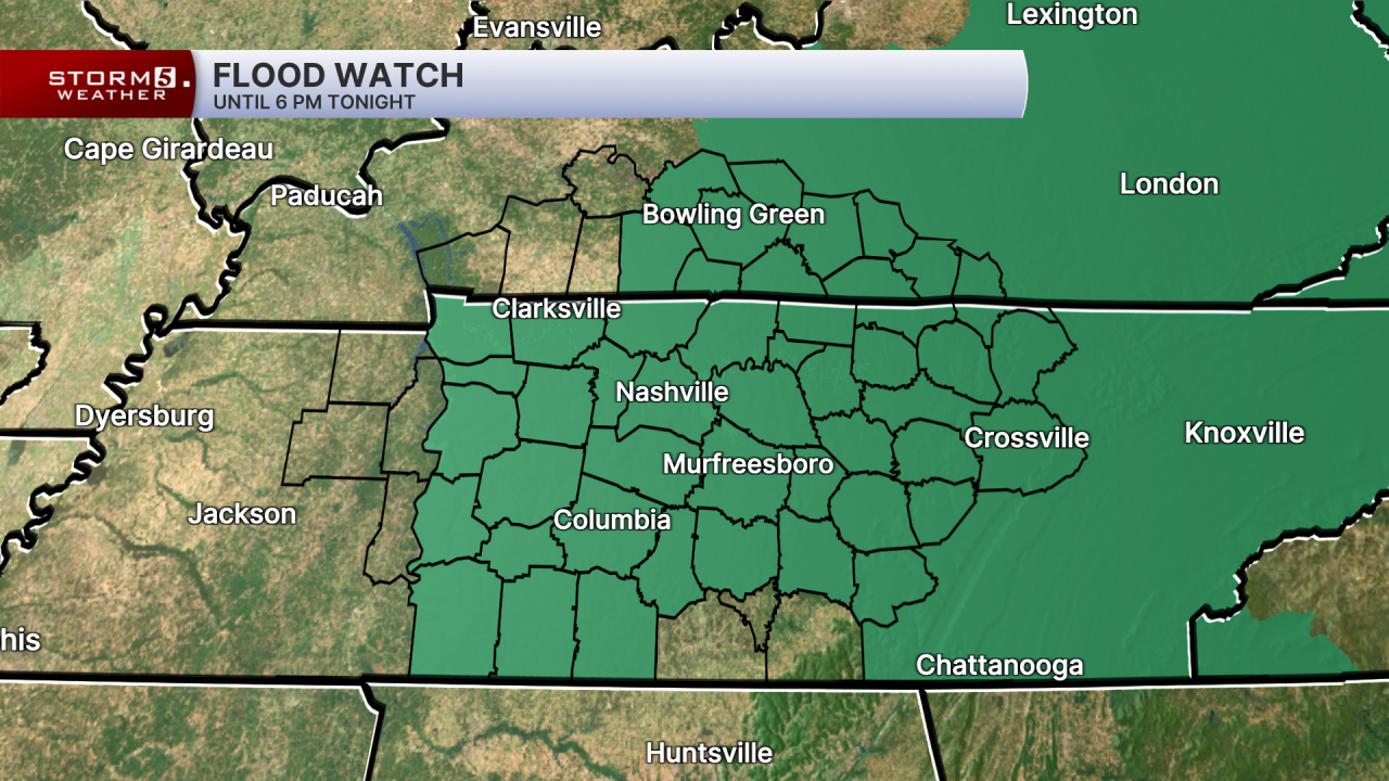
While the threat for severe weather is much lower than previous days, flooding remains a concern. Heavy downpours could lead to localized flash flooding, especially in low lying areas.
Rain will continue overnight and into Monday, but it won't be a widespread washout. High temperatures Monday climb into the mid to upper 80s with humid conditions remaining.
Scattered showers and thunderstorms remain in the forecast as we kick off the work week. The risk of flooding and severe storms will be much lower than it was this weekend.
Conditions feel more like July by midweek. Highs return to the low 90s with limited rain chances with only afternoon pop-up storms possible.
