


Summer-Time Feels
Forecast:
Tonight: Turning Mostly Cloudy | Low: 66 | S 5-15
Tuesday: Mostly Cloudy w/ Near Record Warmth, P.M. Strong to Severe Storms Possible | High: 88 | S 5-15
In Depth:
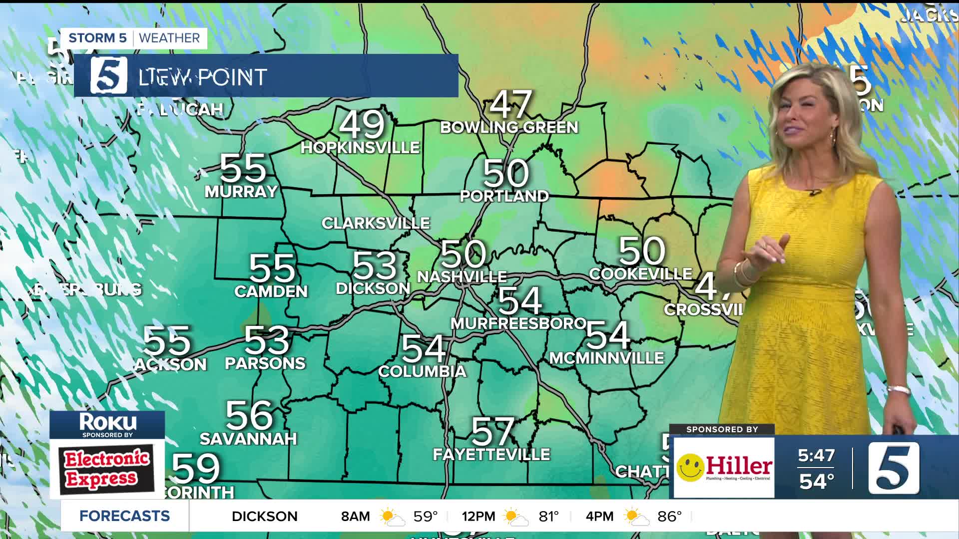
Near record highs are forecasted Tuesday as we inch into the upper 80s to near 90! Tuesday also brings the beginning of an off and on unsettled pattern. A Storm 5 Alert has been called for the later half of the day thanks to the chance for a few strong to severe thunderstorms. The highest threat will be over our northwestern counties with a threat of large hail and strong winds.

The main concern for afternoon and evening storms Tuesday will be damaging wind, heavy downpours, and hail.

The best chance for strong to severe storms will occur between 2pm-10pm Tuesday. This will not be widespread activity, but rather scattered in nature. Activities planned after school will need to keep a watchful eye to the sky as that will be the peak timing for storms.

