


Sunshine to Storms to a Big Cool Down
Forecast:
Tonight: Mostly Clear| Low: 45 | W 5
Tomorrow: Mostly Sunny | High: 70 | E 5-10
In Depth:

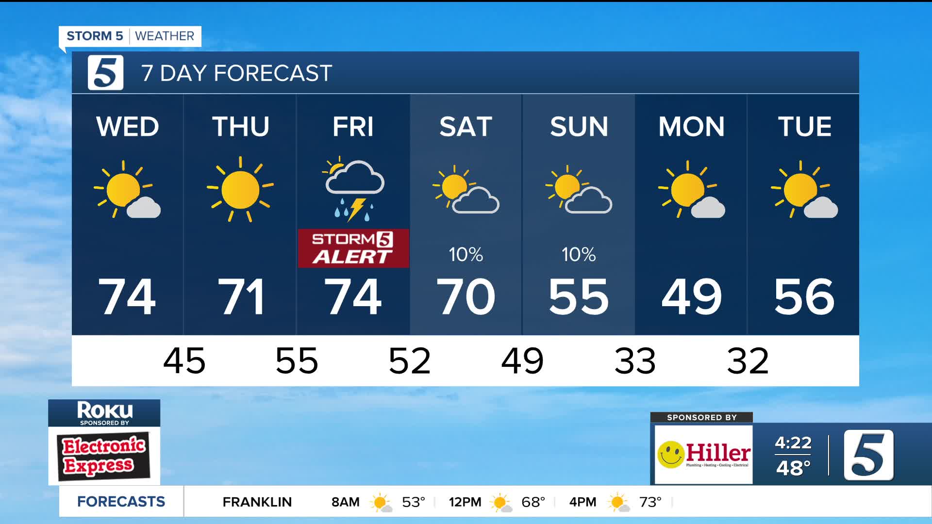
Toasty today as far as November is concerned with a high of 75! The sunshine and warmth that we saw today and plan to see again tomorrow will be short lived.

Although Friday will start out quiet, a Storm 5 Alert has been issued ahead of an afternoon/evening system that will be rolling through. Unfortunate timing with the timeline of concern being 4 PM to midnight, when there's so many outdoor events including high school football playoffs.

The primary threat continues to be strong, damaging winds but a low risk of hail and tornadoes cannot be ruled out. If we end up seeing more sunshine than clouds in the first half of Friday, than the risk for those two will increase.

Another system rolls in quickly after, dropping our temperatures very quickly with highs Sunday into Monday in the 40s and 50s.

