


Storm 5 Alert Today
Forecast:
Tonight: Partly Cloudy | Low: 69 | WSW 5-10
Sunday: Sct'd Showers w/ Below Avg. Temps | High: 79 | WSW 5-10
In Depth:
A round of strong to potentially severe storms is expected to develop across the region this afternoon, with the greatest threat focused along and east of I-65.

A cold front is moving the region and is expected to spark a line of thunderstorms as it pushes east through the afternoon and early evening. A Slight Risk (Level 2 out of 5) has been highlighted over our eastern tier including Cookeville, Crossville, McMinnville, Murfreesboro and Albany.
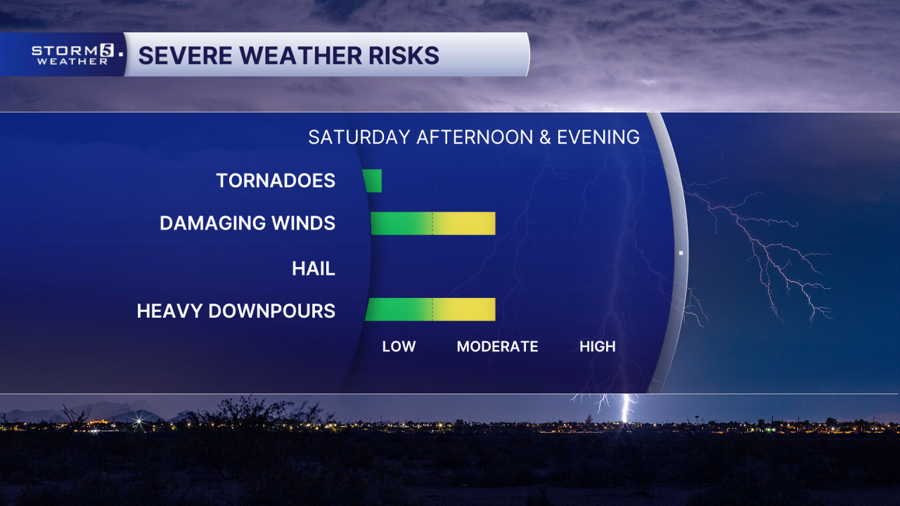
The primary threat will be damaging, straight line winds but localized flash flooding and a quick, spin-up tornado can't be ruled out.
Timing will be this afternoon, through late evening.
