Dangerous Heat Continues
Forecast:
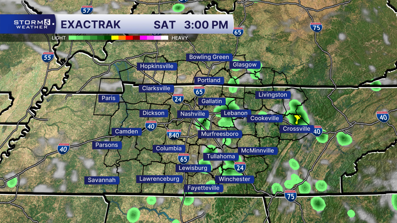
Today: Hot & Humid, 20% Pop-Up Storm Chance east of I-65 | High: 99, Heat Index: 105-108| W 2-7
Tonight: Muggy w/ a Mix of Clouds & Stars | Low: 74 | S 0-5
In Depth:
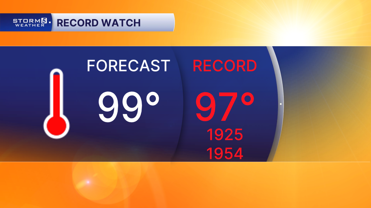
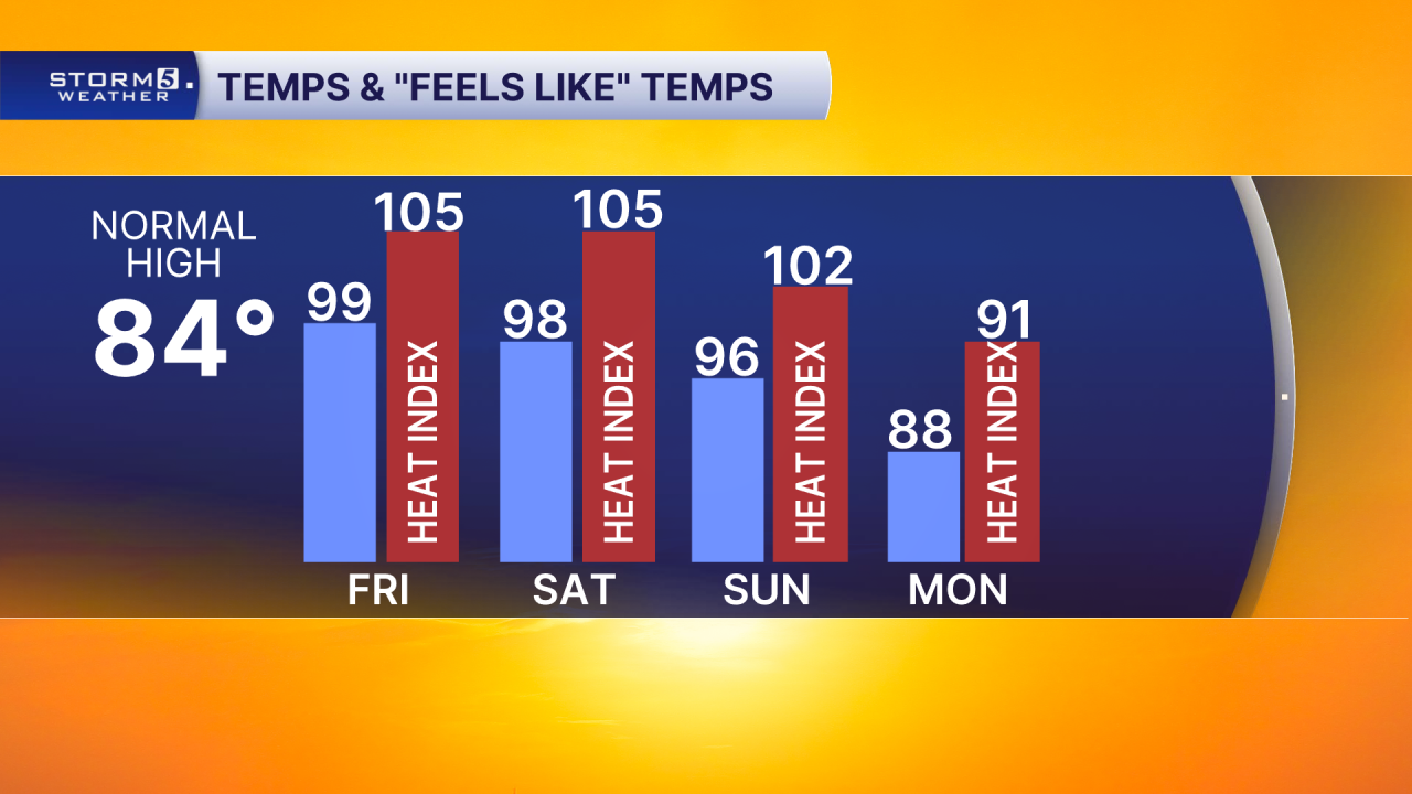
Well above-average temperatures will continue through the weekend, with highs flirting with the triple-digit mark. In fact, we could challenge or break another record high or two. Today's record high is 97°, and our forecast calls for a high of 99°.
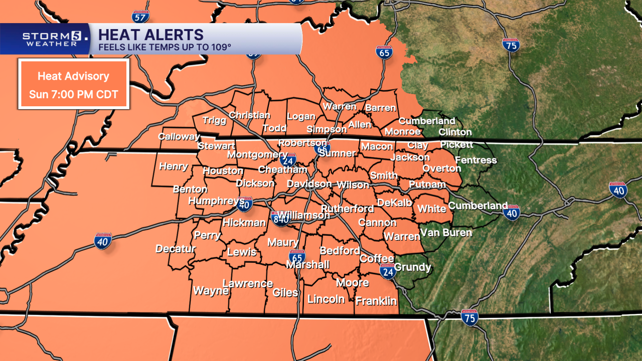
As the dangerous heat persists, so does the Heat Advisory. Most of the NewsChannel 5 coverage area remains under a Heat Advisory through 7 p.m. Sunday. Heat index values will continue to soar, making it feel even hotter than the actual air temperature during the afternoon hours.
The stretch of extreme heat is expected to last through the weekend and into the start of next week. Temperatures will remain well above average through Monday before a promising cold front arrives. That front should bring much-needed relief, knocking highs back into the 80s and bringing "feels like" temperatures down well below the triple-digit range.
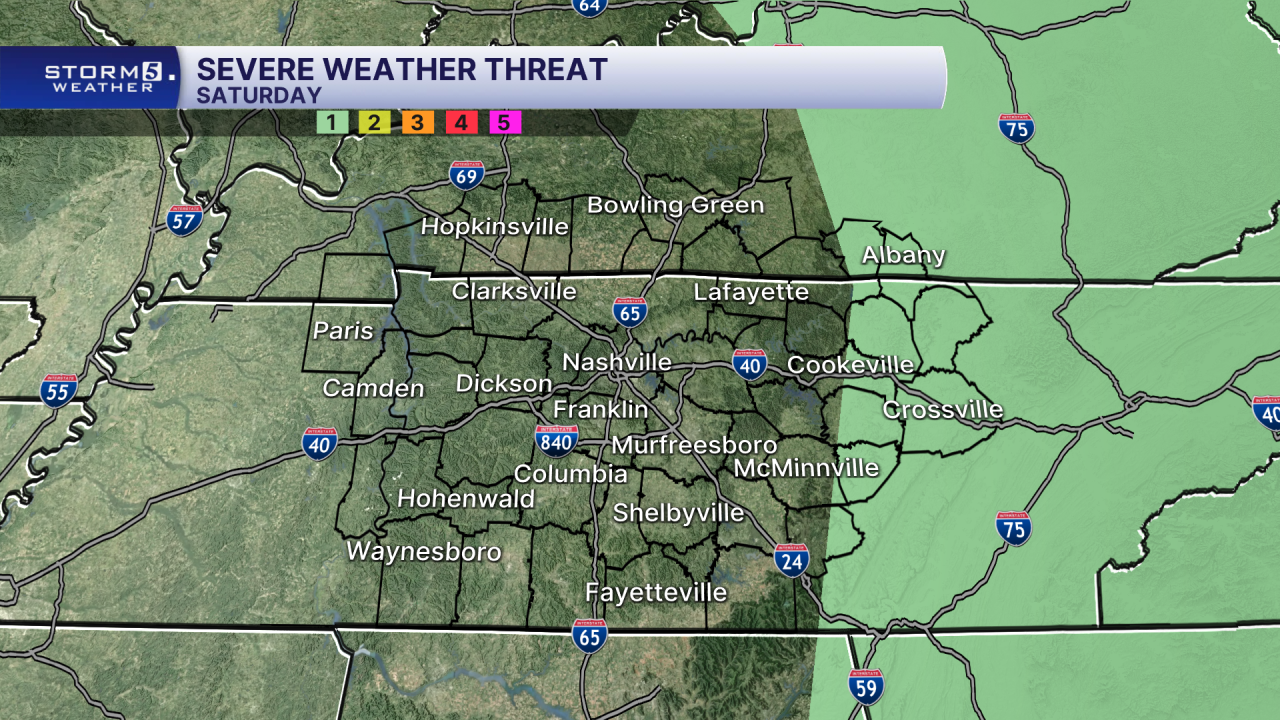
While most areas stay dry, a few lucky communities east of I-65 could hit the weather lottery Saturday afternoon with a pop-up shower or storm. Any storms that develop in the heat of the day could become strong, producing gusty winds. Because of that potential, the Storm Prediction Center has placed parts of the Cumberland Plateau under a Level 1 out of 5 risk for severe weather.