


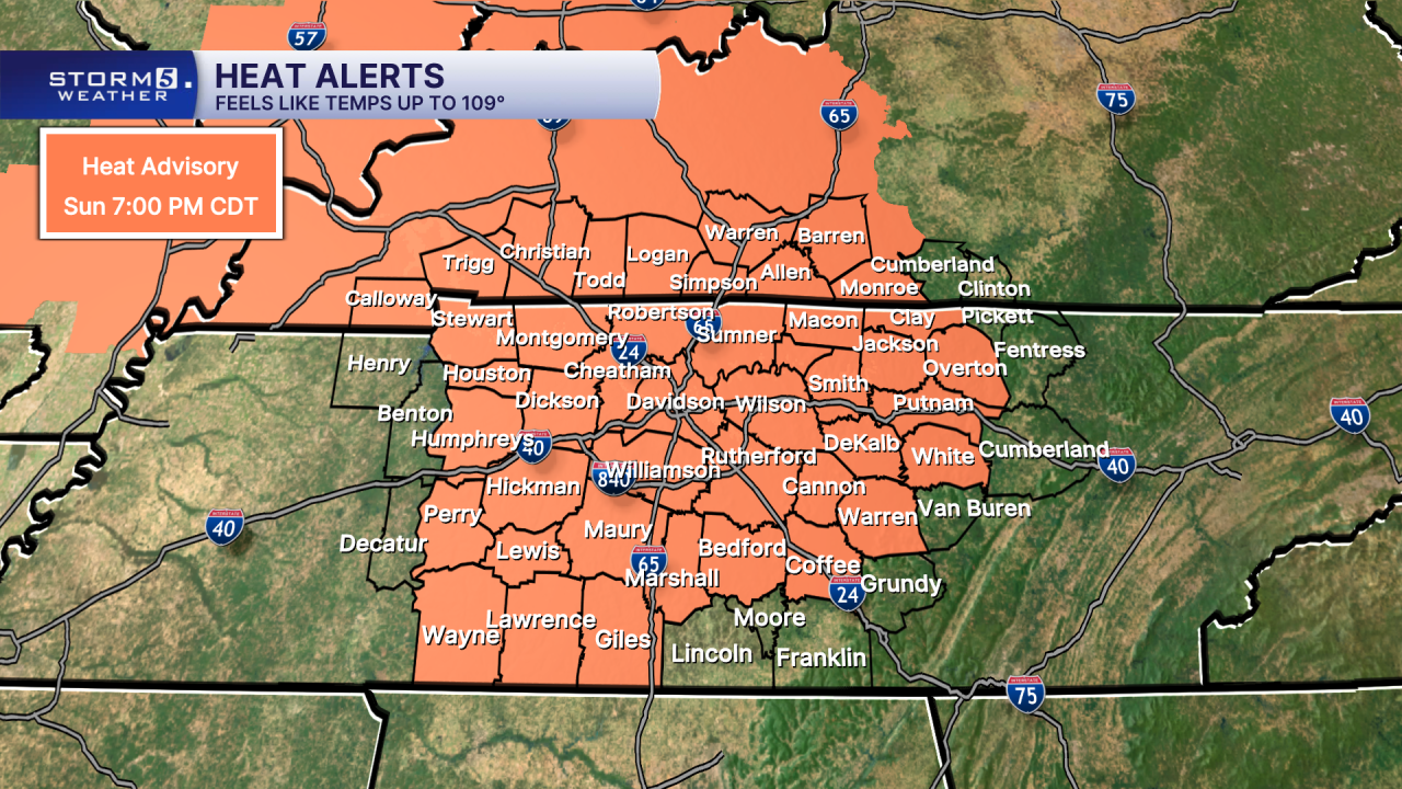
Heat Advisory Until 7pm
Forecast:
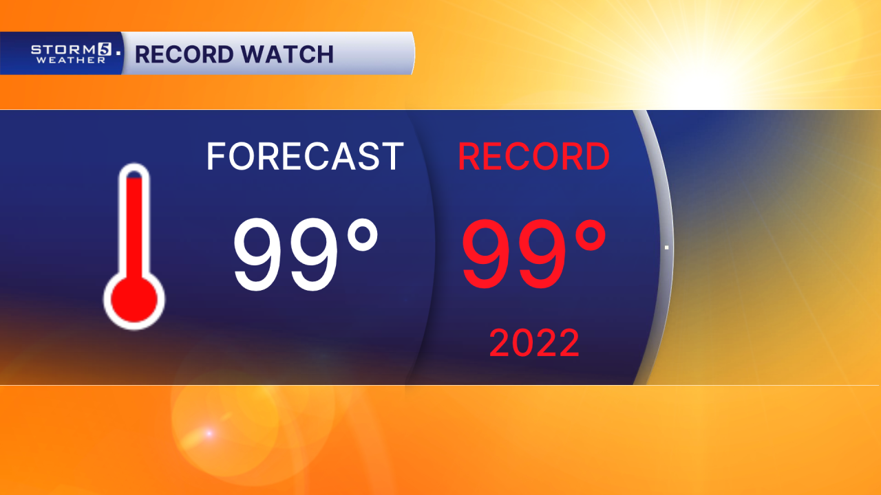
Today: Hot & Humid as we Flirt w/ Record Highs AGAIN! Slight Chance for Pop-Up Storms | High: 99 | SW 5-10
Tonight: Muggy w/ a Mix of Clouds & Stars | Low: 74 | SSW 0-5
Monday: Partly Cloudy w/ Pop-Up Storms, Especially East of I-65 | High: 96 | W 5-10
In Depth:
Another day of oppressive heat is in store across the Mid-South, with temperatures once again flirting with record highs. Afternoon highs will push toward 100 degrees, and when combined with the humidity, heat index values will climb into the 105° to 109° range for many communities. Because of the dangerous heat, a Heat Advisory remains in effect until 7 p.m. Sunday.
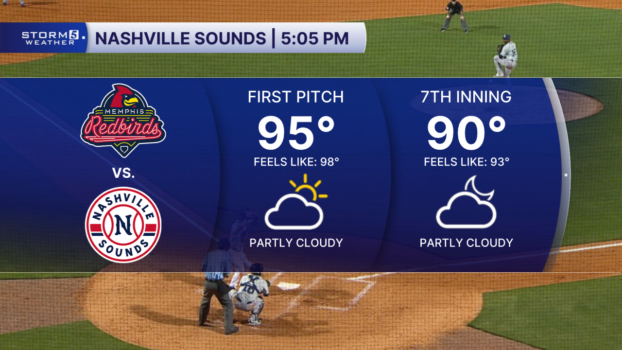
If you're heading to First Horizon Park for the Nashville Sounds' final home game of the 2026 season, be prepared for hot and humid conditions. First pitch is set for 5:05 p.m., and temperatures will remain in the 90s throughout much of the game, with heat index values staying elevated into the evening hours.
Relief is on the way, but it comes with the chance for storms. Rain and scattered thunderstorms are expected to develop Monday afternoon ahead of an approaching cold front. Most of the NewsChannel 5 viewing area is under a Level 1 of 5 risk for severe weather, while far eastern portions of the coverage area are under a Level 2 of 5 risk.
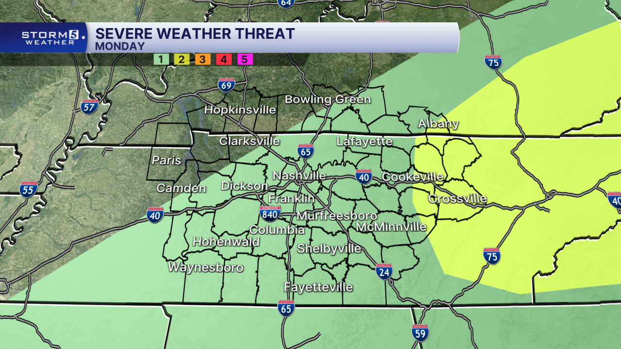
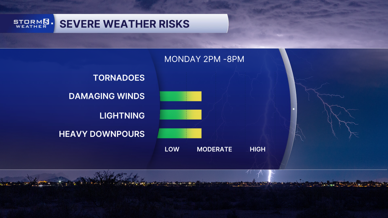
At this time, storm coverage does not appear widespread, but a few stronger storms could develop Monday afternoon and evening. The Storm 5 Weather Team will continue monitoring the system closely and will provide updates if a Storm 5 Alert becomes necessary.
