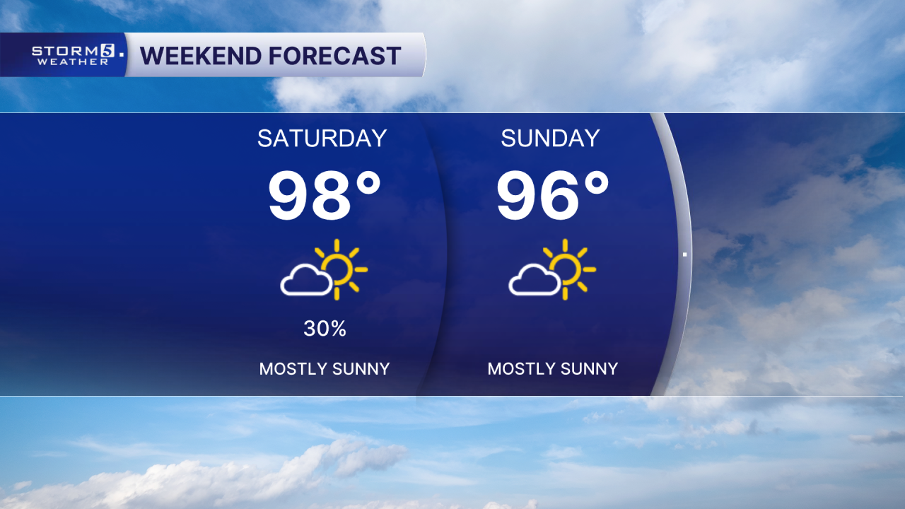
Heat Advisories & Extreme Heat Warning Through Saturday
Forecast:
Tonight: Mostly Clear |Low: 75| S-5 to Lt & Var
Tomorrow: Hot & Humid, Stray Storm Ch. |High: 99, Heat Index 105-111+| Lt & Var to S-5
In Depth:
Despite the calendar saying September, Mother Nature is making sure you know it's still summer! Temperatures are back in the upper 90s with a heat index a few degrees warmer than that.
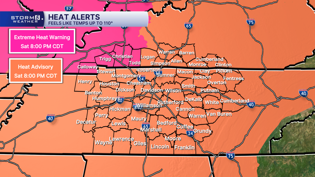
A Heat Advisory and an Extreme Heat Warning go through Saturday evening.
Thanks to the toasty temperatures and very little breeze, an air quality alert is valid through this evening so anyone with respiratory sensitivities needs to limit their time outdoors.

Not a ton of relief this weekend with temperatures remaining above average. Only expecting an isolated chance for showers, bringing little relief.