


Heat Alerts Continue Saturday
Forecast:
Tonight: Sct'd Storms Ending, Patchy Fog Likely | Low: 73 | NW 0-5
Sunday: Continued Hot & Humid, But Not as Humid | High: 95 | NW 5-15
In Depth:

For the third day in a row, Nashville has reached at least 100 degrees. While it's not record setting, it's 13 degrees above average for early September. The heat index is making things feel closer to 110, which is why a heat alert is still in place.
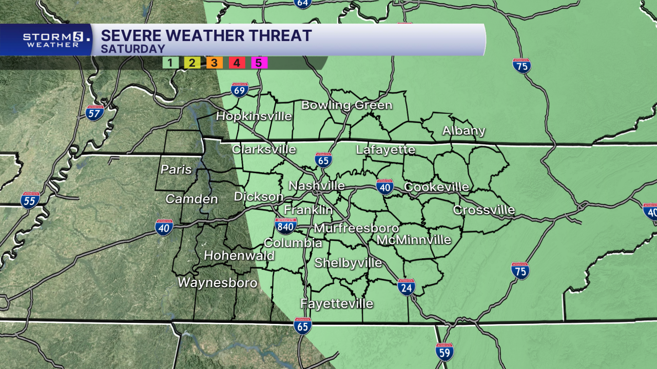
A few scattered storms will be possible this evening with a storm or two possibly turning severe. Any severe weather would bring strong winds, frequent lightning and heavy downpours. This won't be something everyone sees.
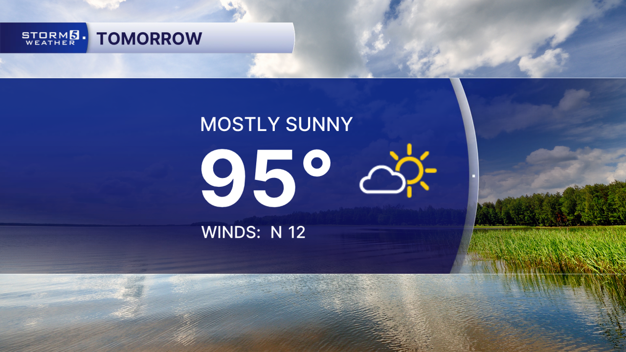
We aren't going to see seasonal highs soon, but we will be moving in the right direction with "cooler" temperatures tomorrow and on Labor Day.
