Forecast:
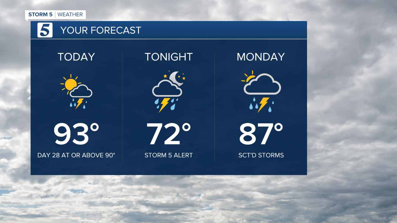
Today: Partly Cloudy, turning Mostly Cloudy, Sct'd T-Storms | High: 93 | SSW 5-15
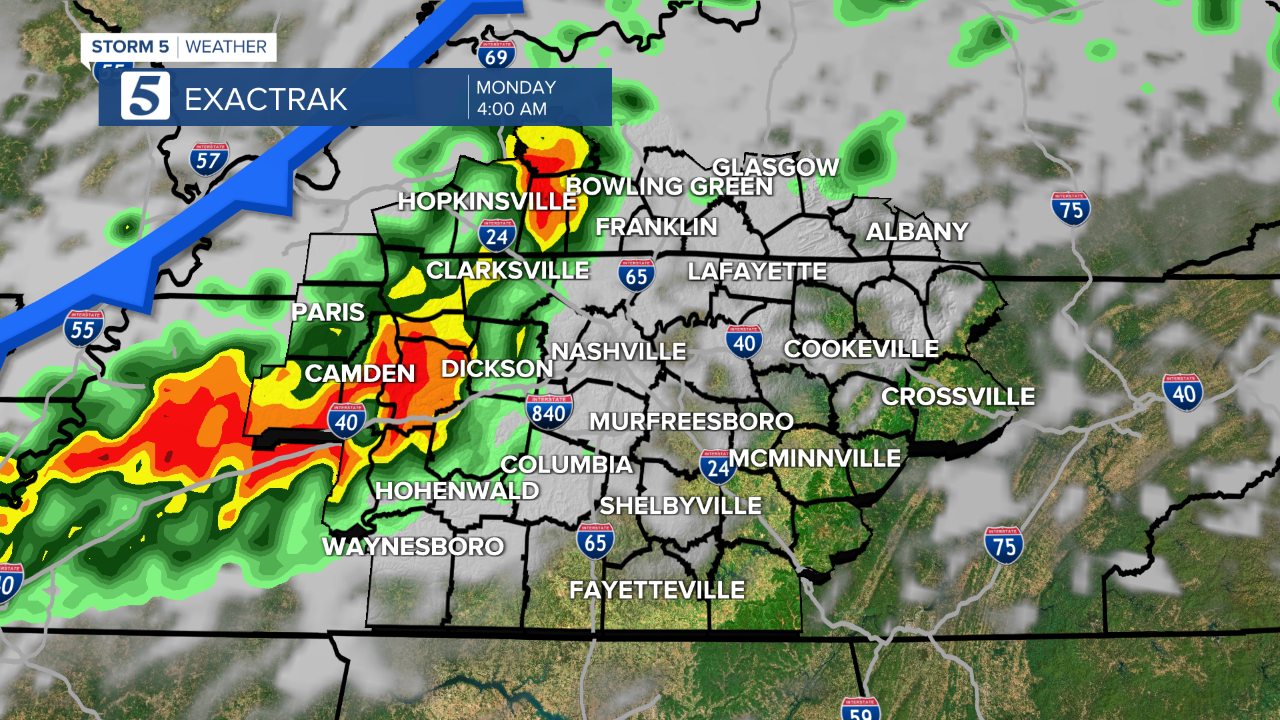
Tonight: Sct'd T-Storms, Some Strong to Severe | Low: 72| S 5-10
Monday: Sct'd T-Storms | High: 87 | SW 5-15
In Depth:
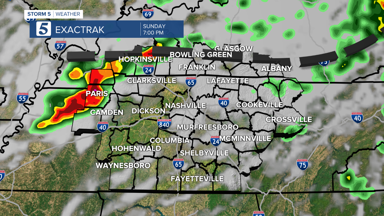
The National Weather Service issued a Flash Flood Warning for Cumberland County that lasted until 6:30 p.m.
After 28 days (including today) with highs at or above 90 degrees, changes are heading towards the Mid-State. But those changes also come at the cost of strong to severe thunderstorms. After daytime heating, the chances for afternoon and overnight storms to reach strong to severe limits will increase.
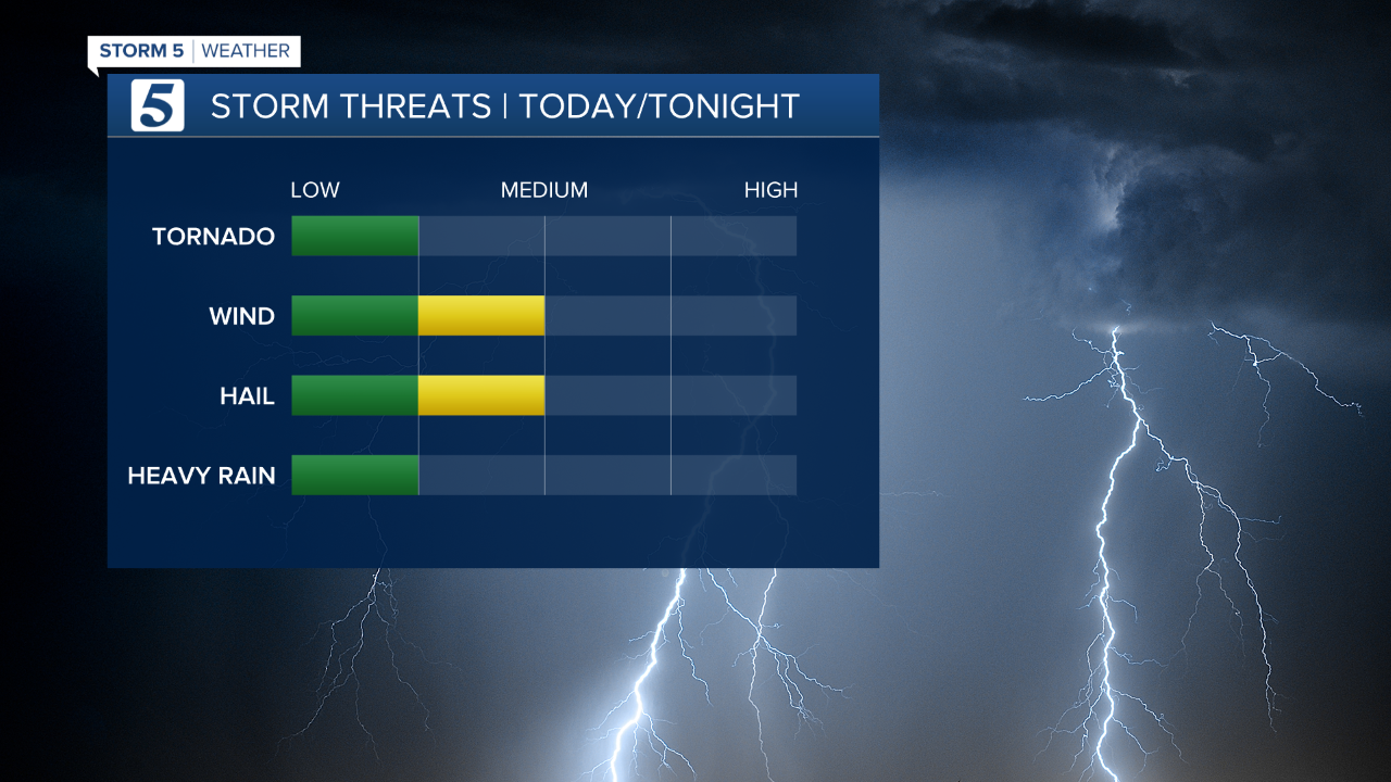
In order, our primary concerns are damaging wind, hail and heavy downpours, and while chances are very low, we cannot rule out an isolated tornado, especially in Southern Kentucky.
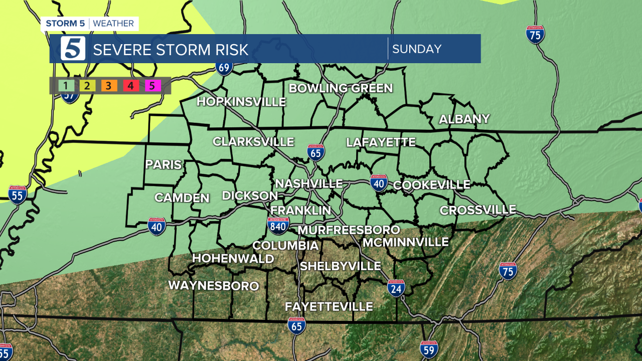
Damaging wind, hail, heavy downpours, and even an isolated tornado (Southern Kentucky) are all possible with any storms that reach severe limits.
Thanks to clouds and rain on Monday, it looks like our streak with highs at or above 90 will end, and we will only make it to the upper 80s Monday afternoon.